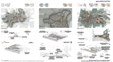
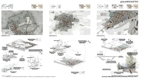
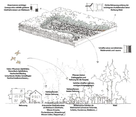
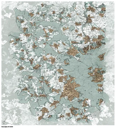
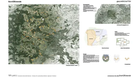
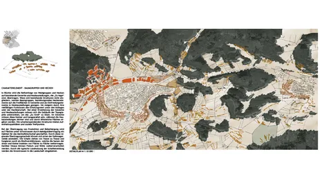
Designbased analysis
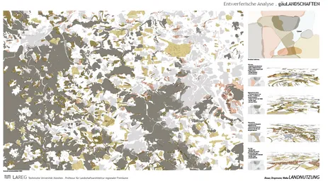
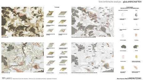
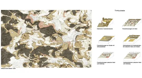
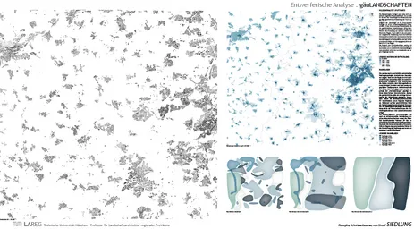
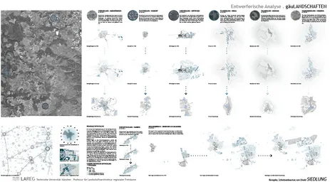
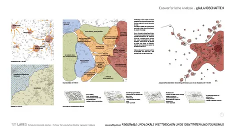
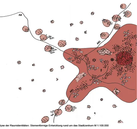
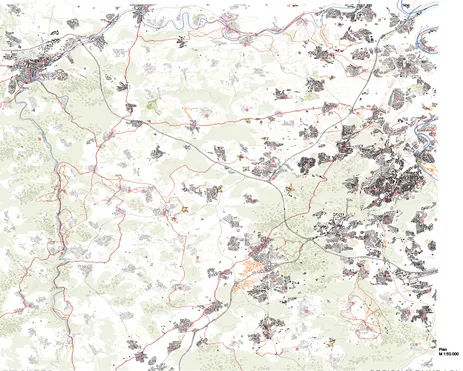
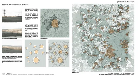
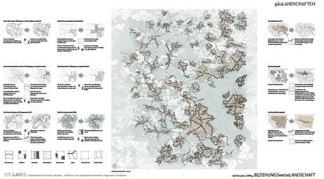
The aim of the conceptual analysis is to describe a structural concept of space - a LANDSCAPE - within the region being worked in, i.e. spatial characteristics, spatial connections and spatial boundaries. For this purpose, the relevant map layers are to be overlaid in the process of the analyses, so that landscape interrelationships become clear.
Design
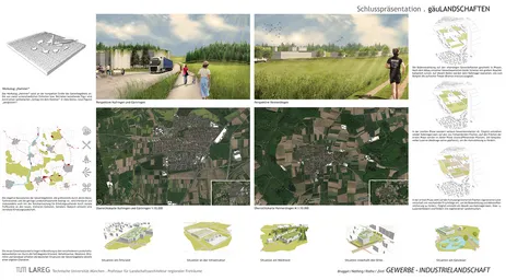
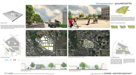
In the phase of design, a regional landscape or a 'regional' topic is chosen for the landscape. Based on a spatial structure and shape, overarching designs are developed.
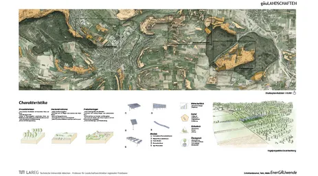
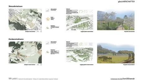
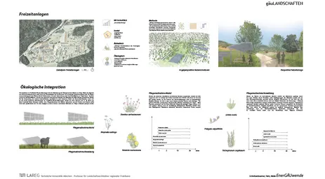
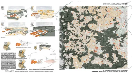
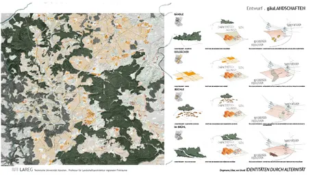
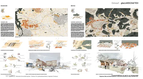
gäuLANDSCHAFTEN
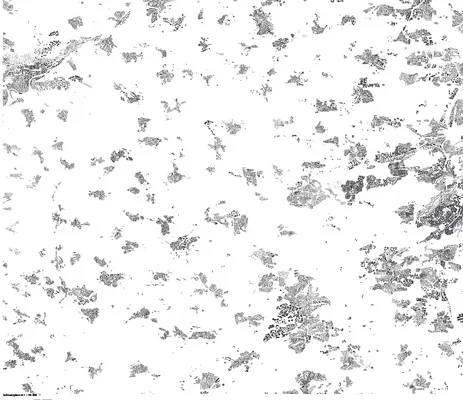
Stuttgart and its surrounding municipalities form one of Germany's largest conurbations with around 2.7 million inhabitants as the "Stuttgart Region". In addition to the popular residential location in the Stuttgart basin, the inhabitants are distributed among the city districts that extend into the neighbouring landscapes, as well as the "tradition-conscious medium-sized towns or attractively located villages" in the surrounding countryside. The polycentric settlement structure forms tense interweavings with the landscape: always in danger of blurring into a homogeneous settlement structure - always with the potential to establish the landscape as a source of identity in the rapid growth of the cities.
The Verband Region Stuttgart has recognised this potential and has designated the landscape within its boundaries as the "Stuttgart Region Landscape Park". Within this framework, open space concepts are being designed that address a wide variety of open space concerns. Functional questions of energy supply, mobility, agriculture and climate protection are combined with ecological, social and aesthetic demands for nature conservation, local recreation and landscape management.
For Stuttgart itself and the municipalities in the north, east and south, concepts for open space already exist or are being developed in the form of master plans. "There are master plans for the different landscape areas, which fit together like pieces of a jigsaw puzzle to form a common planning guideline." In the west of Stuttgart, there are still large gaps in the landscape concept. Here, it remains to be worked out how landscape can become the structural generator of regional development.
"The landscape in the region of Stuttgart is more diverse than almost any other: Orchard meadows in the Alb foothills, vineyards in the Neckar- and Remstal, farmland on the Fildern. The alternation of densely populated river valleys, forests, orchard meadows and vineyards gives the region its unique character. The main idea behind the Stuttgart Region Landscape Park is to preserve and promote these characteristics in their individual forms. The aim is not to create a garden idyll, but to design a cultural landscape that brings the natural features and aesthetic attractions of the landscape closer to locals and visitors alike."
"The regional green corridors preserve the landscape, but also help to maintain certain functions, such as local recreation, agriculture or fresh air corridors. Construction is generally excluded. New spatially significant projects that are dependent on the outskirts and privileged under the Building Code may be permitted by way of exception (e.g. farms or infrastructure facilities)."
"Green corridors are defined in places where the coalescence of settlements is to be prevented. The open spaces thus divide populated areas and prevent a "settlement mush". A fundamental aspect is the preservation of the landscape. The green corridors are intended to clearly delineate the individual edges of the villages and thus also help the communities to acquire a clearer identity."
(Excerpts from: Stuttgart Region Association: Regional Planning in the Stuttgart Region, 2nd edition, 2015).
THE LANDSCAPES BETWEEN SCHWARZWALD AND STUTTGART.
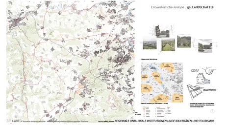
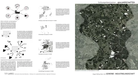
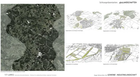
To the east of the northern Schwarzwald, there are gently hilly cultivated landscapes with few forests, intensively used for agriculture and wide views. The so-called "Gäuen" extend to the city limits of Stuttgart: depending on the loess cover, they are more or less fertile. According to excavations, the area of the Gäus has been inhabited since the Middle Stone Age. The many place names ending in -ingen were founded by the Alemanni and belong to the Swabian prehistoric villages. Today, this results in a densifying, suburban settlement network that sees itself as both rural with its town and village centres and the references to its cultural landscape, and urban due to its proximity to the metropolis of Stuttgart.
TASK.
In the bachelor project gäuLANDSCHAFTEN, the landscape qualities of the region are to be elaborated. They are to be further developed in open space concepts and the demands of living, working, transport infrastructures, local recreation, agriculture, nature conservation, tourism and climate change are to be holistically and spatially concretely brought into a reasonable structure. The landscape is more than just a park - it is qualified as an identity carrier, everyday space and structure provider! To this end, the analysis must define how the landscape is composed and where its boundaries lie. The landscape should do justice to its cultural-historical significance and not only be preserved and maintained through concepts, but also guide future developments and be further developed itself in the process. For the creation of comprehensive concepts, it is necessary to clarify, on the one hand, the relationship of the region to Stuttgart and which urban structures are part of its self-image, and on the other hand, which rural elements and structures are carriers of its identity. The concepts should provide the Verband Region Stuttgart with an answer to the question of which long-term goals are to be aimed at for the entire Gäul landscapes and where small-scale key projects must be implemented to achieve this.
